
Wingmap
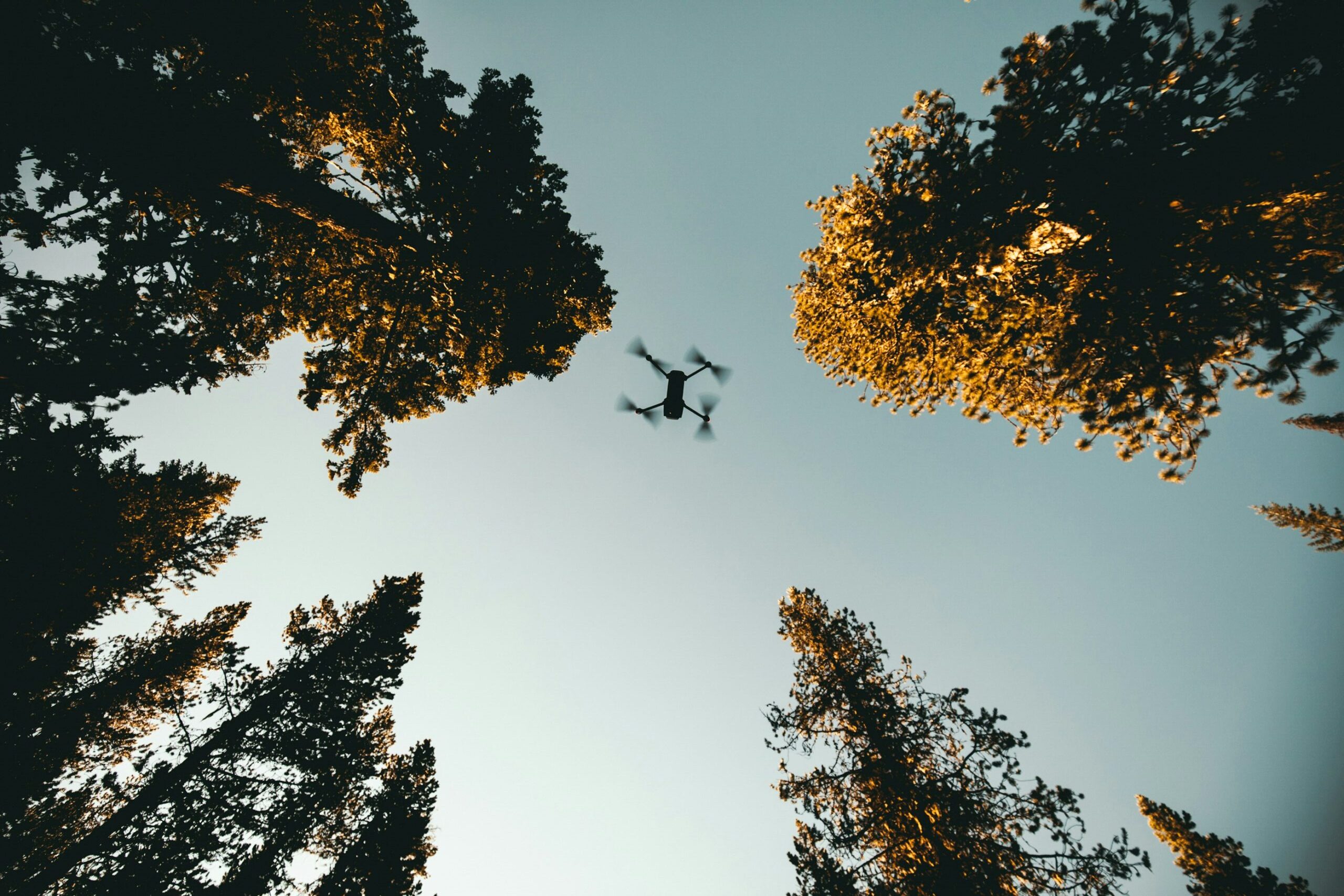
Drone Aerial Mapping: Precision from Above

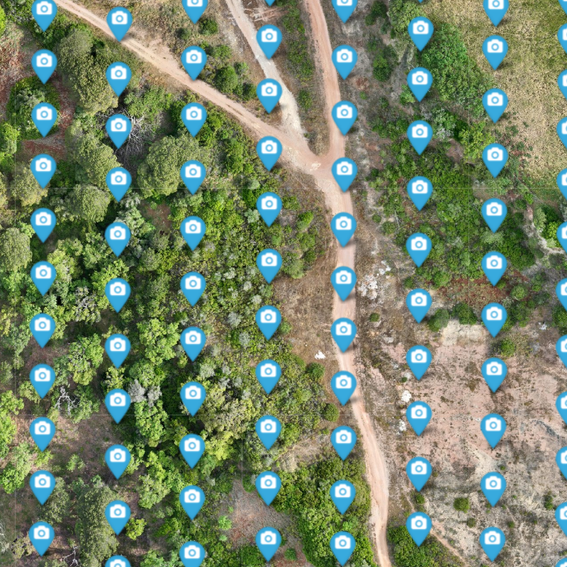
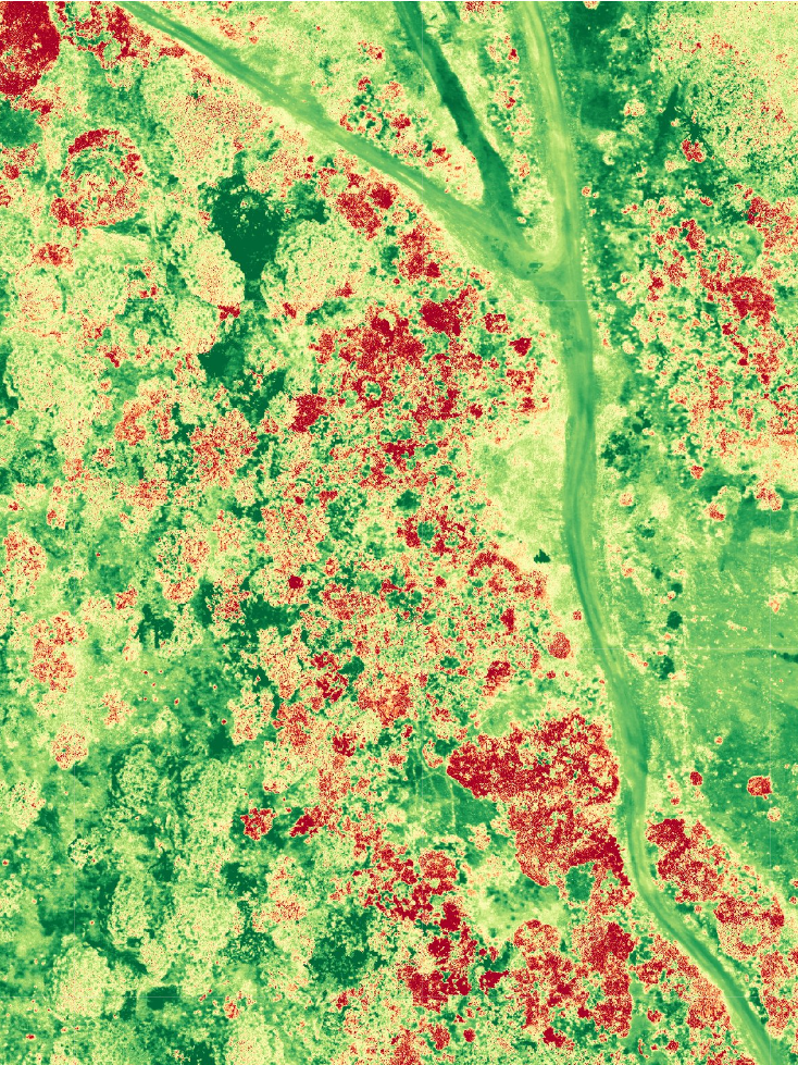
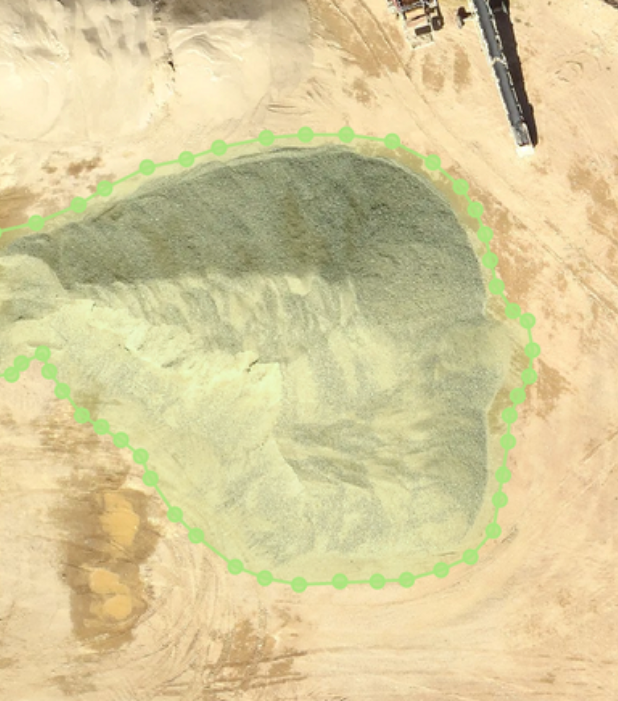
Agroforestry
Aerial drone photography provide rapid insights into tree and crop health, soil conditions, and land management.
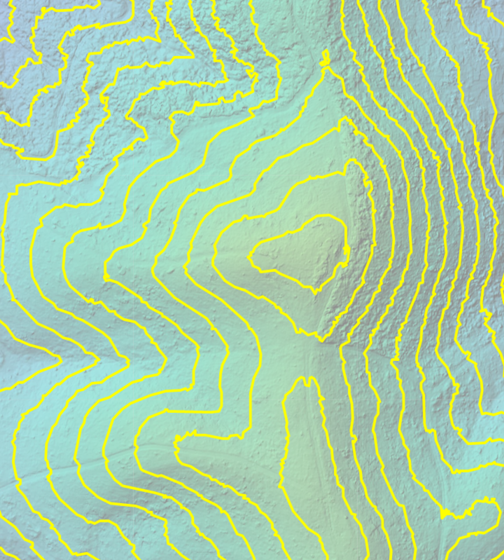
Real Estate
High-resolution monitoring for site assessment, allowing precise planning and development.

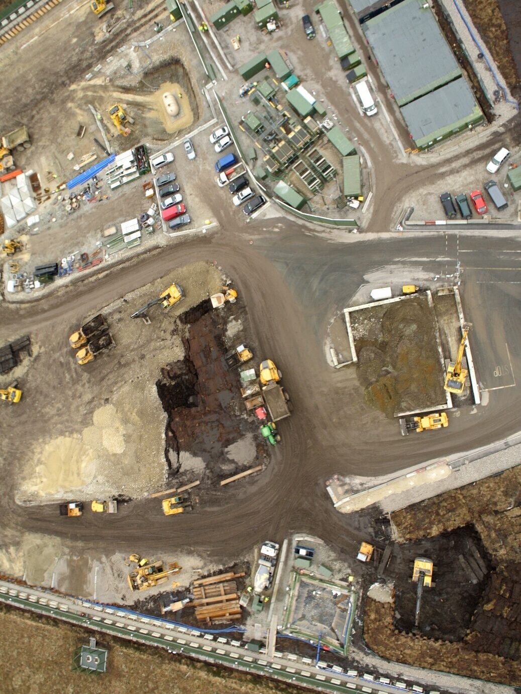
Inspection
High resolution imagery improves safety by reducing inspection risks and accelerate project timelines.