
Expertise
Our Vision
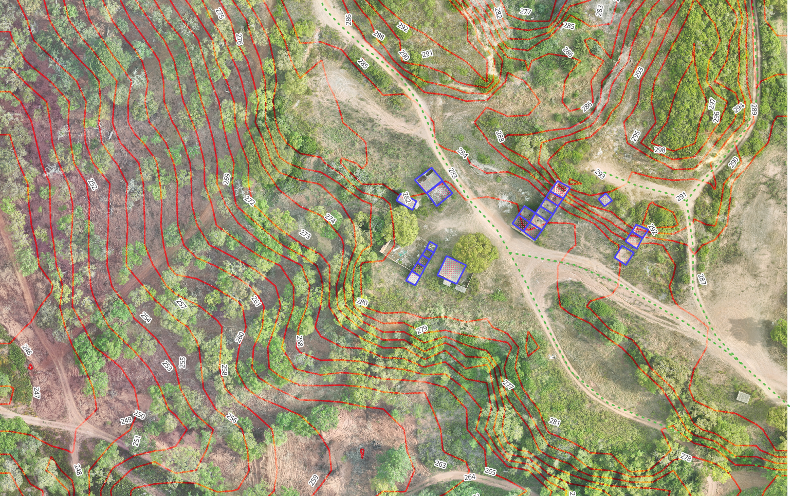
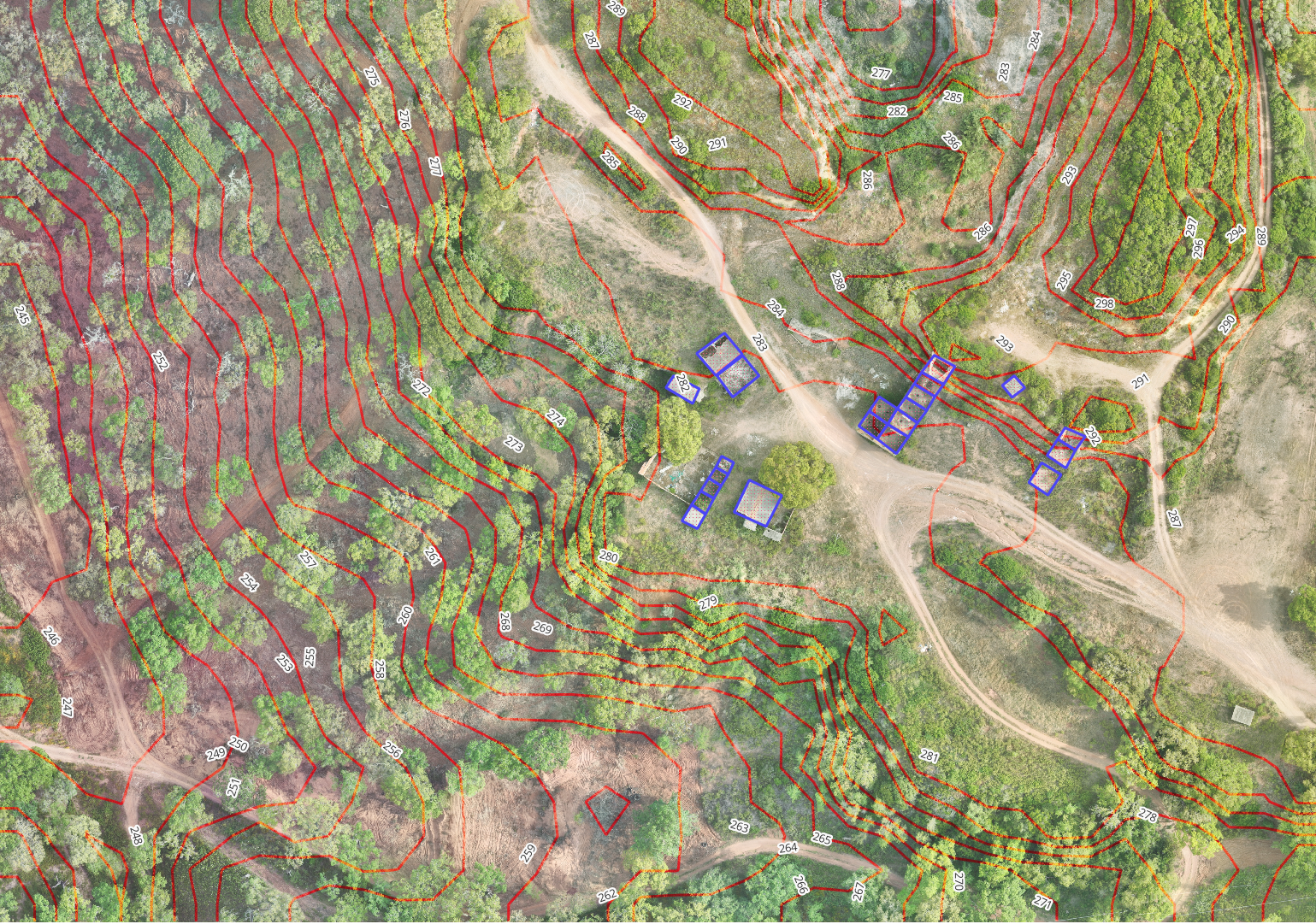
Welcome to Wingmap, your premier provider of high-resolution drone imagery and advanced image processing. We leverage the latest in remote sensing, classification techniques, and AI technology to deliver exceptional results.
Our journey began in commercial and logistic real estate planning, where we first used GIS for market and profitability analyses.
Driven by a desire to work closer to nature, we explored permaculture and agroforestry design courses, recognizing the critical need for accurate data in project planning.
Whether you’re involved in agriculture, agroforestry, real estate development, or ecotourism, we provide the reliable data foundation necessary for comprehensive project study and monitoring.
Ready to elevate your projects with precise geospatial data?