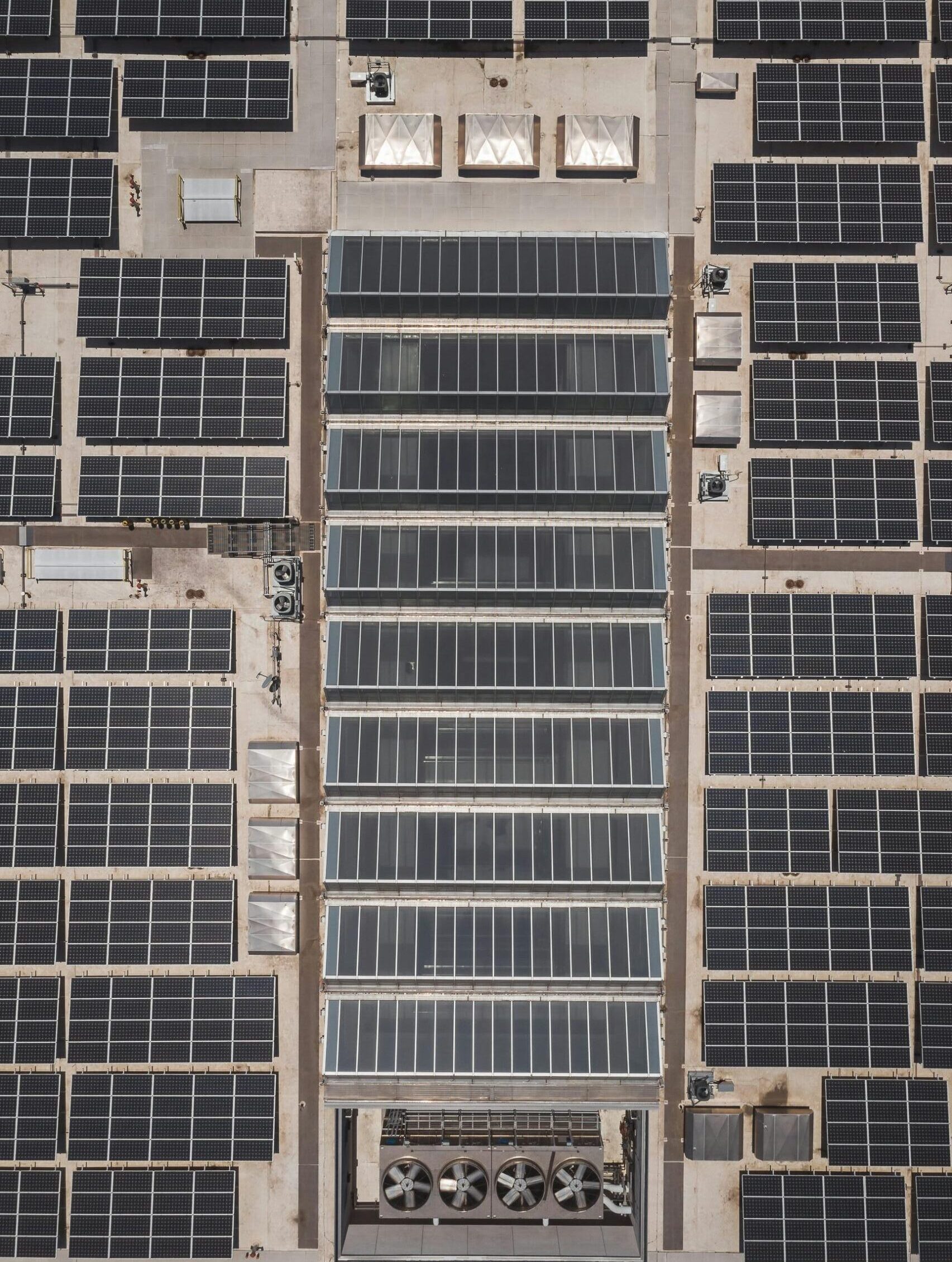
Services
Project Planning
High-resolution monitoring for site assessment, allowing precise planning and development.
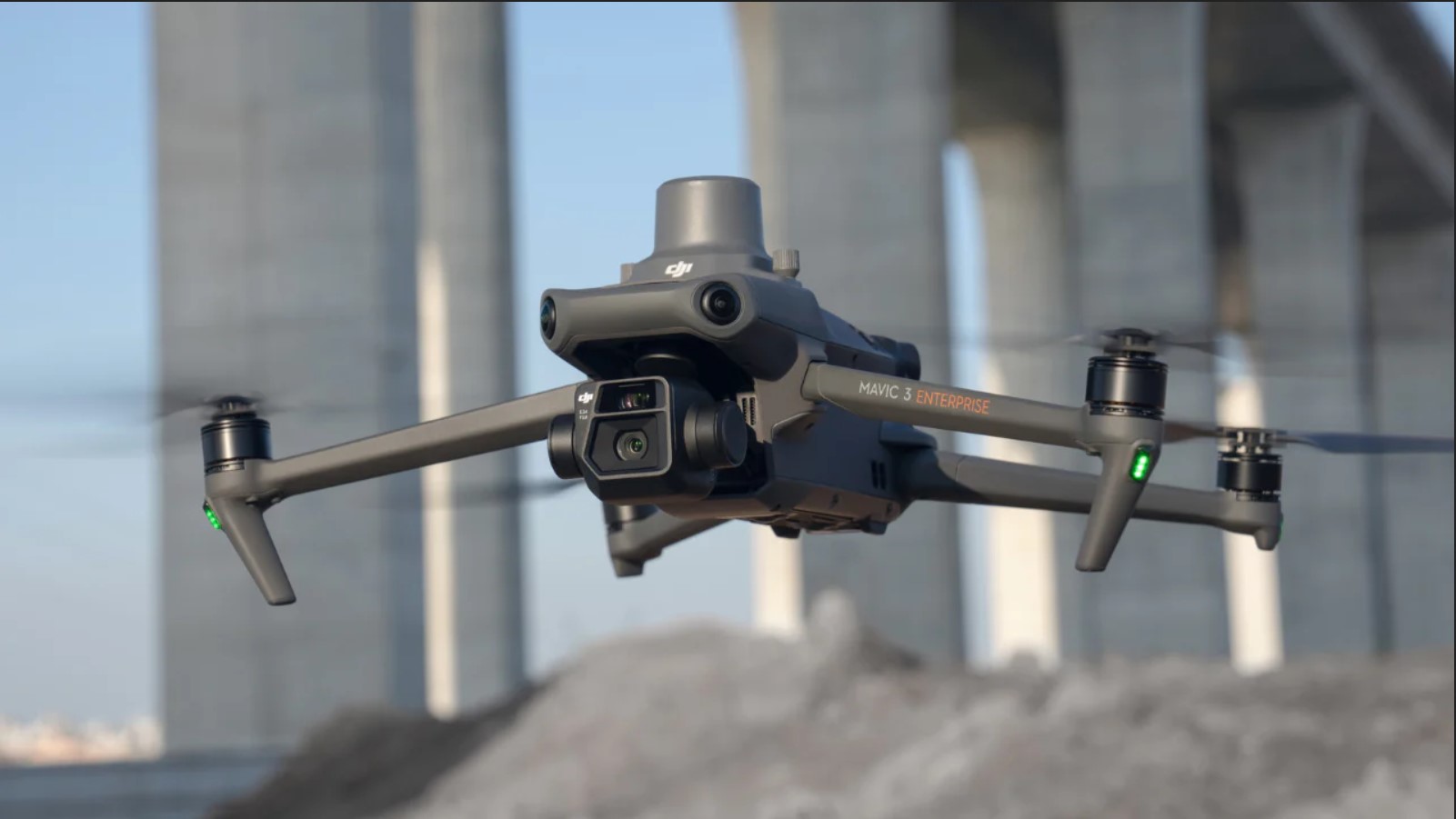
Aerial photography
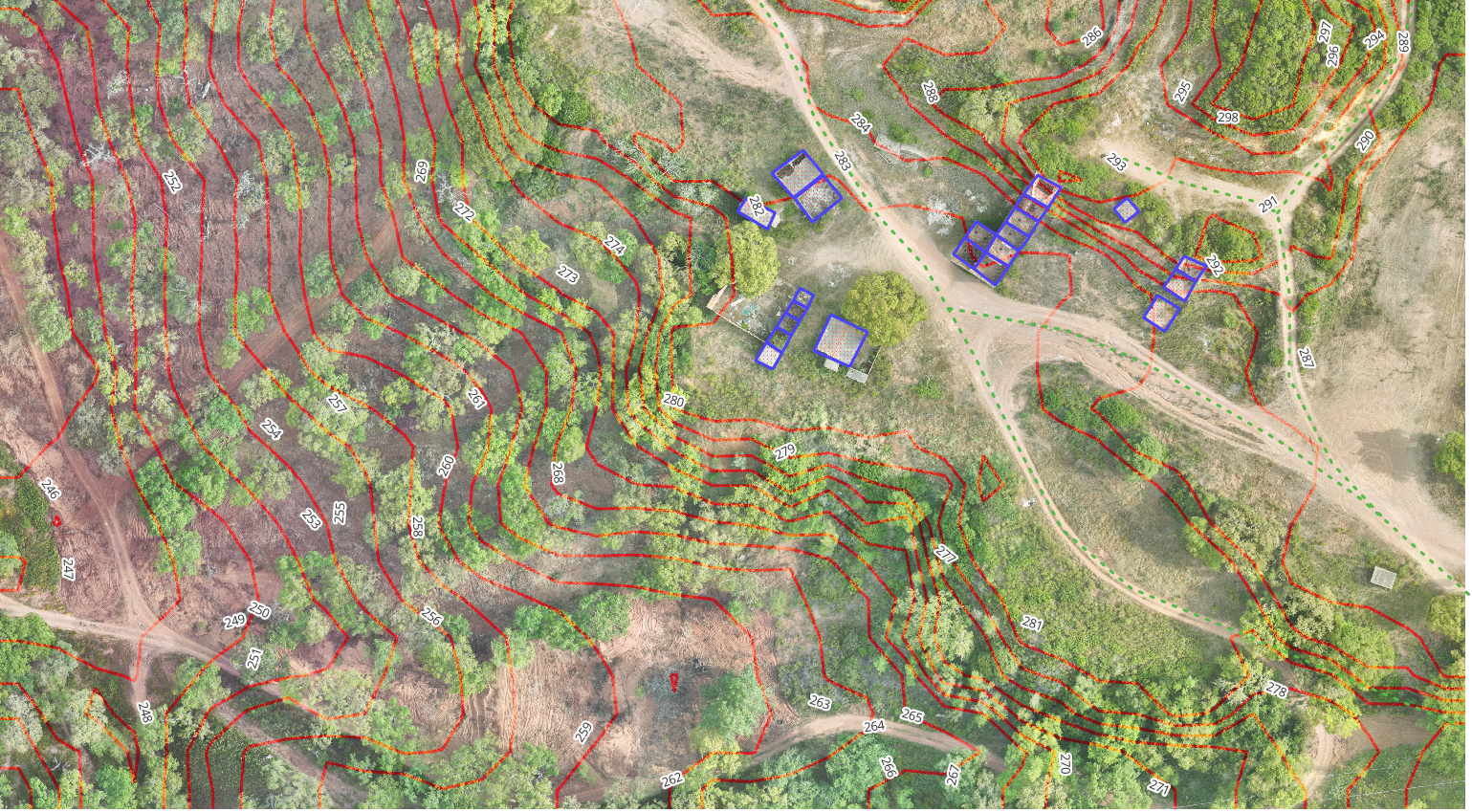
Surveys
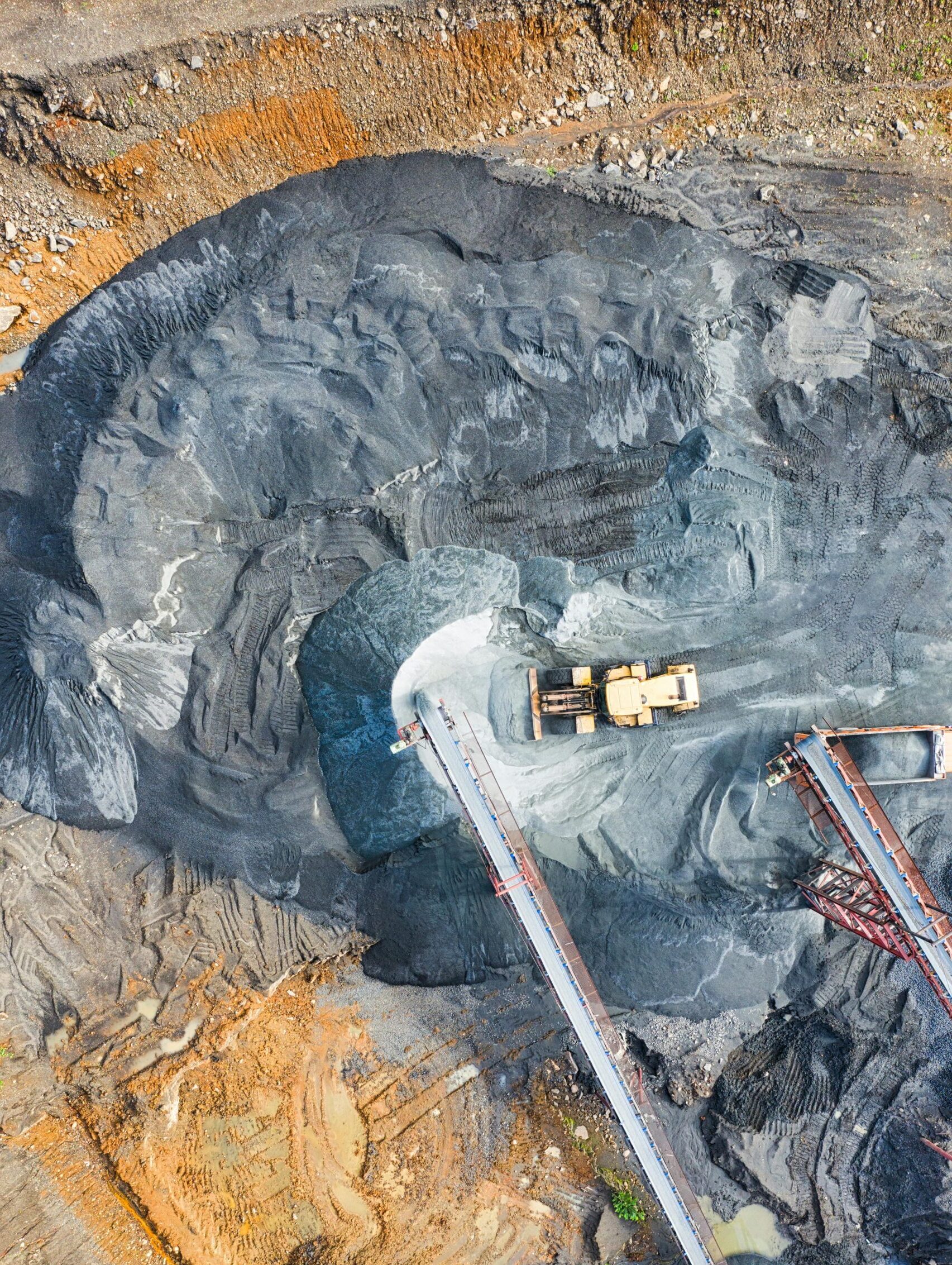
Volumetry
Agroforestry
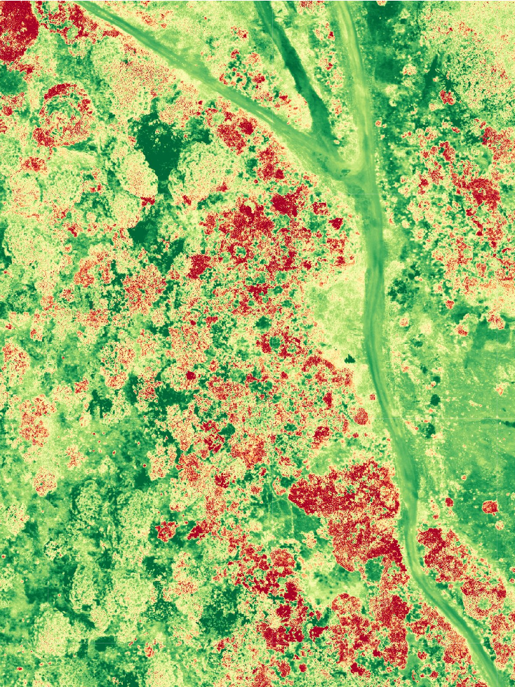
Aerial drone photography provide rapid insights into tree and crop health, soil conditions, and land management.
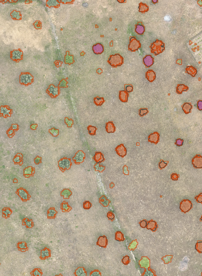
Tree counting
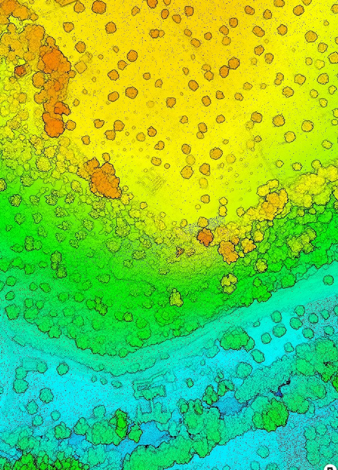
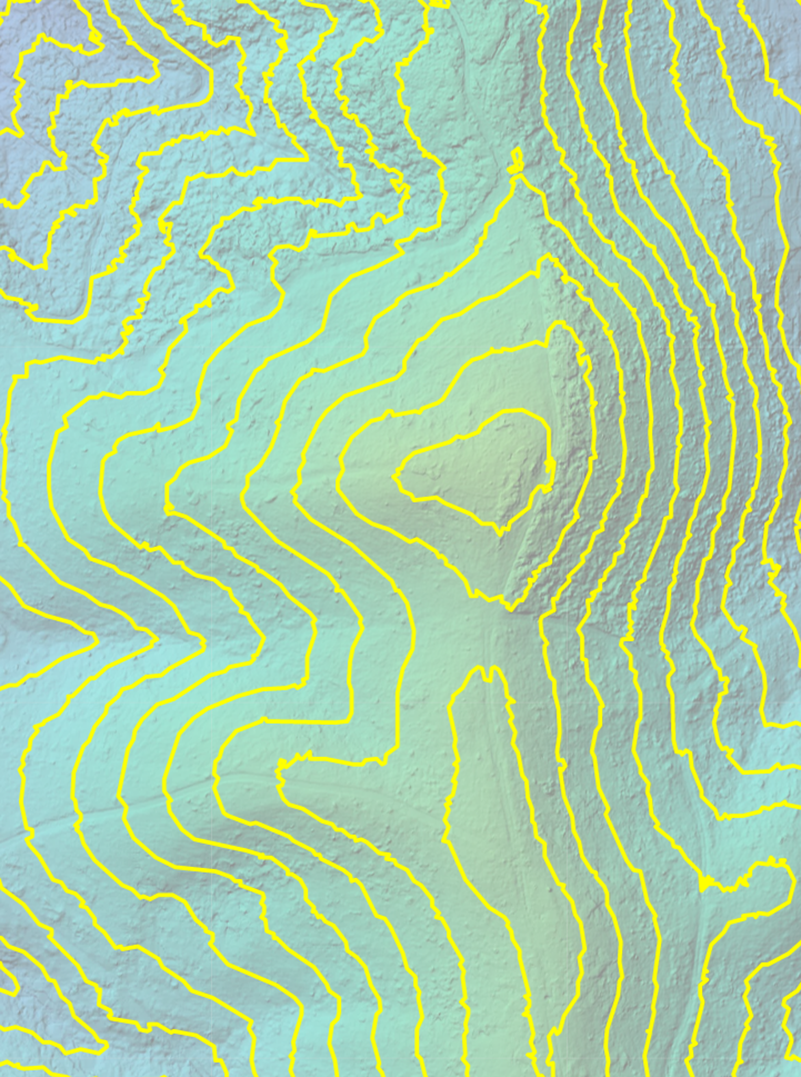
Digital Surface Model
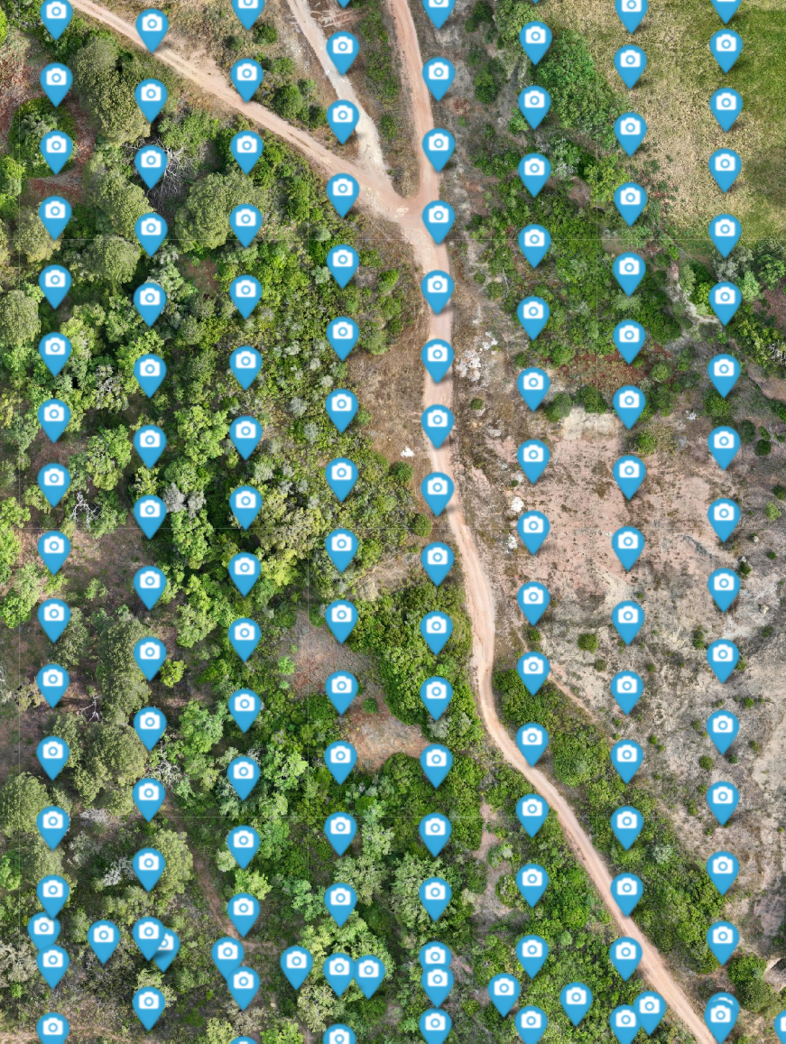
Data Processing
Real Estate
High resolution imagery improves safety by reducing inspection risks and accelerate project timelines, ultimately saving costs and improving efficiency in project execution.
Inspection
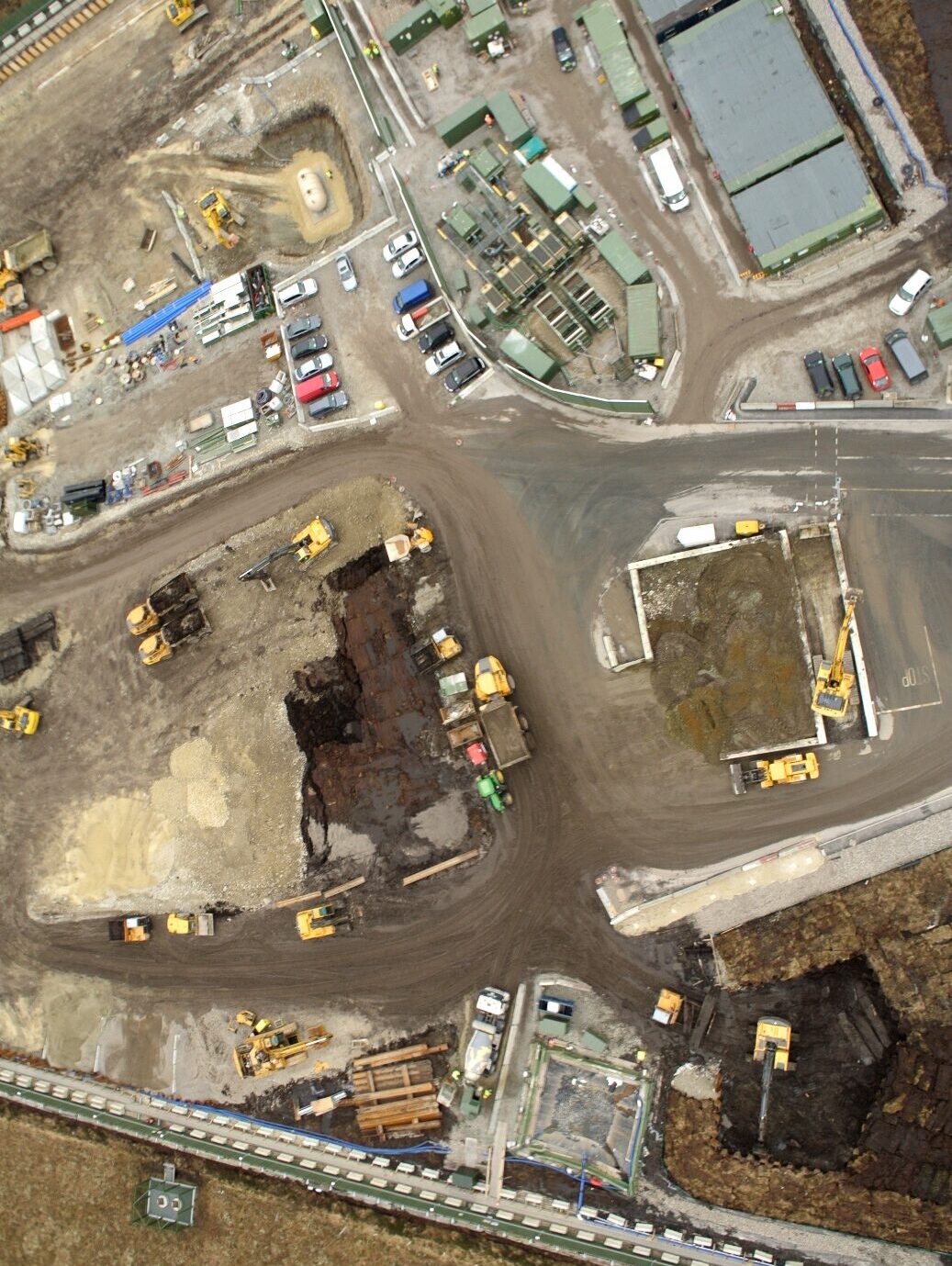
Monitoring

3D Modeling